


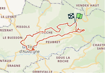

15.4 km | 25 km-effort


User GUIDE


FREE GPS app for hiking
 SityTrail
IGN / Geographical institutes
SityTrail World
The world is yours!
Trail Walking of 17.7 km to be discovered at Auvergne-Rhône-Alpes, Puy-de-Dôme, La Tour-d'Auvergne. This trail is proposed by jagarnier.
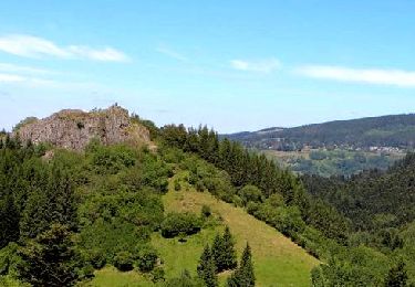
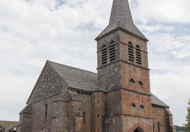
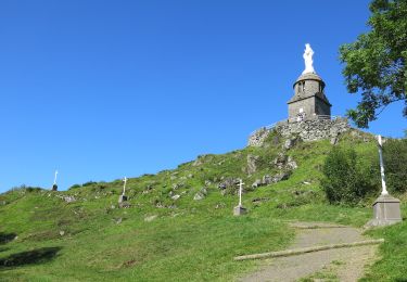
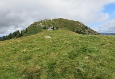
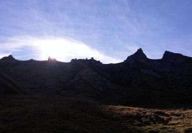
La randonnée s'élève dans les estives jusqu'au bois de la Charbonnière et donne l'accès à de magnifiques paysages sur les massifs du Sancy et l'Artense. Ce parcours révèle la qualité architecturale et le petit patrimoine de la Tour-d'Auvergne.

Walking

Walking

Walking

On foot
On foot
On foot

On foot
On foot
On foot
superbe tour